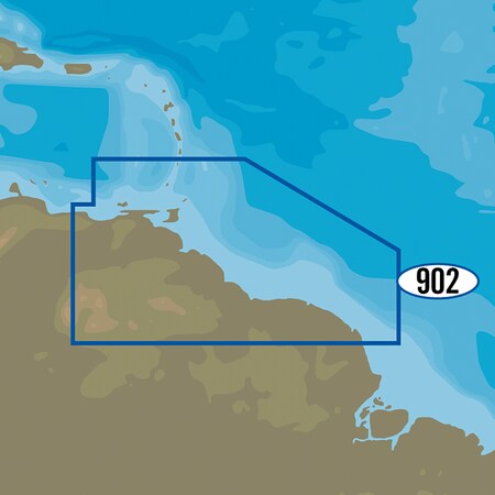
MAX-N+ SA-Y902 - Isla de Margarita to Rio Oiapoque (Discontinued)
- Mfr # SA-Y902
- Zoro # G4664108
Get a 10% off coupon
Free 30-day returns
Return PolicyGet 30 days to pay with Net 30
Apply NowUnlock tax-exempt savings
Add Tax ExemptionSpecifications
Product Information
MFR #
SA-Y902
Zoro #
G4664108
UPC #
-
Country of Origin
Unknown
Description
MAX-N+ SA-Y902 - Isla de Margarita to Rio Oiapoque MAX-N+ brings all the popular C-MAP 4D features to the the Navico family of chartplotters, including: Detailed Harbor Charts, Dynamic Raster Charts,High-Resolution Satellite Imagery, Custom Shaded Depths, Dynamic Tides & Currents, High-Resolution Bathymetric Data, Sport Fishing Data, Aerial Photos, C-Marina Port Info & Multi-Language Charts. C-MAP MAX-N+ brings trusted Jeppesen data and advanced charting features to users of compatible Lowrance, Simrad and B&G navigation systems. Whether you're an avid saltwater angler, sailing enthusiast or long-range cruiser, these powerful charts will enhance every moment you spend on the water. With huge coverage areas, up-to-date data and state-of-the-art features, no adventure is out of reach. Software Requirements: Simrad NSO evo2 - Software Version 4.0 Simrad NSS evo2 - Software Version 3.0 B&G Zeus2 - Software Version 3.0 Lowrance HDS Gen2 - Software Version 4.0 Lowrance HDS Gen2 Touch - Software Version 4.5 Lowrance HDS Gen3 - Software Version 2.0 Features: Dynamic Raster Charts - Give sailors a traditional "nautical chart" view with the ability to access important information. High-Resolution Bathymetric (HRB) charts and Sportfishing Data deliver powerful technology for avid anglers. Tides & Currents projections help both sailors and anglers plan their day Full-Featured Vector Charts - Provide boaters with the accurate, up-to-date vector chart detail including Depth Areas and Contours, Spot Soundings, NavAids, Light Sectors, Wrecks/Obstructions, Small Craft Facilities and more Harbor & Approach Details - Lets boaters approach any harbor and inlet with confidence - the perfect conclusion to a long voyage, sailing adventure or exciting day of bluewater fishing Tides & Currents - Presents the time, water level and direction of tides with Tide Level graphs and indicates predicted current time, direction and strength of currents with Current Flow graphs and colored arrows.
Ratings & reviews
3 reasons you can count on us

Supplies for every job.
10 million items and the exact one you need.

When you need it fast, count on Zoro!
2 million products ship in 1 day.

Stretch your budget further.
Everyday low prices on the brands you love.