BlueChart® g2 Vision® HD - VPC414S - Mackay to Twofold (Discontinued)
- Mfr # 010-C0872-00
- Zoro # G702942346
Specifications
Product Information
Description
Bay -
microSDTM/SDTM
Coverage:
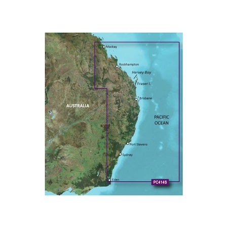
The Eastern coast of Australia from Mackay to Eden. Also includes detailed coverage of Hervey Bay, Fraser Island, Brisbane, Port Stephens, and Sydney.
Our Premium Chart Offering
- Derived from official charts and private sources to provide navigational aids, spot soundings, depth contours, tides and currents, and detailed harbors and marinas
- Garmin Auto Guidance technology shows a suggested route to a destination1
- Depth Range Shading for up to 10 depth ranges enables you to view your target depth at a glance
- Up to 1-foot contours provide a more accurate depiction of the bottom structure for improved fishing charts and navigation
- Shallow Water Shading feature allows for depth shading at a user-defined level to aid in navigation
- Unique 3D views like MarinerEye and FishEye provide additional perspective both above and below the water line
- High-resolution satellite imagery of ports, marinas, bridges and navigational landmarks for superior situational awareness
Auto Guidance1
Auto Guidance technology quickly calculates a suggested route using your boat's dimensions and a suggested path to follow.
Depth Range Shading
Displays high-resolution Depth Range Shading for up to 10 depth ranges so you can view your designated target depth.
Detailed Contours
BlueChart g2 Vision HD features 1-foot contours that provide a more accurate depiction of bottom structure for improved fishing charts and enhanced detail in swamps, canals and port plans.
MarinerEye View
Provides a 3-D representation of the ocean floor as seen from below the waterline.
FishEye View
Provides a 3-D representation of the surrounding area both above and below the waterline.
High-resolution Satellite Imagery
High-resolution satellite imagery with navigational charts overlaid gives you a realistic view of your surroundings so you can navigate with a clear moving-chart representation of your boat’s position. It’s our most realistic charting display in a chartplotter.
Aerial Photography
Crystal clear aerial photography shows exceptional detail
Restrictions
Ratings & Reviews
3 Reasons You Can Count On Us

Supplies for every job.
10 million items and the exact one you need.

When you need it fast, count on Zoro!
2 million products ship in 1 day.

Stretch your budget further.
Everyday low prices on the brands you love.