Specifications
Product Information
Description
TM
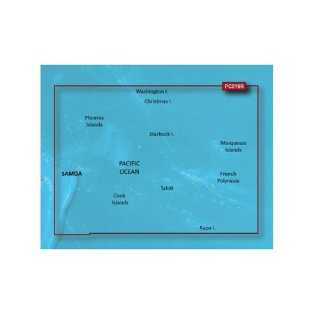
Coverage:
General coverage of the coasts of Tonga, Samoa, American Samoa, French Polynesia, Kiribati, and the Cook Islands. Included in this overall general coverage are numerous detailed charts covering areas such as Nuku'alofa, Ton., Apia, Sam., Pago Pago, Am. Sam., Tahiti, and Bora Bora.
Our Advanced Chart Offering
- Derived from official charts and private sources to provide navigational aids, spot soundings, depth contours, tides and currents, and detailed harbors and marinas
- Depth Range Shading for up to 10 depth ranges enables you to view your target depth at a glance
- Up to 1-foot contours provide a more accurate depiction of the bottom structure for improved fishing charts and navigation in swamps, canals and marinas
- Shallow Water Shading feature allows for depth shading at a user-defined level to aid in navigation
Advanced Chart Detail
Detailed charts help the mariner guide their boat in and out of port with confidence.
Depth Range Shading
Displays high-resolution Depth Range Shading for up to 10 depth ranges so you can view your designated target depth.
Detailed Contours
BlueChart g2 HD features 1-foot contours that provide a more accurate depiction of bottom structure for improved fishing charts and enhanced detail in swamps, canals and port plans.
This product may not be returned to the original point of purchase. Please contact the manufacturer directly with any issues or concerns.Restrictions
Ratings & Reviews
3 Reasons You Can Count On Us

Supplies for every job.
10 million items and the exact one you need.

When you need it fast, count on Zoro!
2 million products ship in 1 day.

Stretch your budget further.
Everyday low prices on the brands you love.