Continents of the World, Flags and Facts, Map Pack Bundle, Folded
Mfr # RE01021236B
Zoro # G716155077
Key Features
Specifications
Product Information
Dimensions
Details
Description
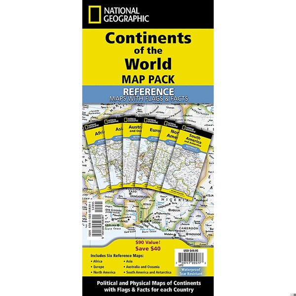
National Geographic's Reference maps with Flags & Facts Map Pack Bundle of Continents includes the seven continents on six waterproof tear-resistant maps. Each continent map includes a political map with countries and cities carefully placed for maximum readability. Each map also includes a physical map of the continent artistically representing the mountains, valley, plains, rivers, lakes and other physical features. The flags and facts for every country, enhanced with representative photographs portraying themes and regions are also included.The maps are printed on waterproof, tear-resistant material which can be folded and unfolded hundreds of times making them perfect for quick reference to the news of the day or classroom use. The world-class cartography of National Geographic is now available in a format that will easily fit in a drawer without the need for an enormous table or wall space for a quick and easy reference source.The Continents of the World Map Pack includes:Africa with Flags & FactsAsia with Flags & FactsAustralia and Oceania with Flags & FactsEurope with Flags & FactsNorth America with Flags & FactsSouth America and Antarctica with Flags & FactsEvery Flags & Facts Reference map is printed on Classroom Tough waterproof, tear-resistant paper.
- National Geographic's Reference maps with Flags & Facts Map Pack Bundle of Continents includes the seven continents on six waterproof tear-resistant maps.
- Each continent map includes a political map with countries and cities carefully placed for maximum readability.
- The maps are printed on waterproof, tear-resistant material which can be folded and unfolded hundreds of times making them perfect for quick reference to the news of the day or classroom use.
- Every Flags & Facts Reference map is printed on "Classroom Tough" waterproof, tear-resistant paper.
- Measures 4.25" x 9.25" folded and 25.25" x 18.5" flat
Restrictions
Ratings & Reviews
3 Reasons You Can Count On Us

Supplies for every job.
10 million items and the exact one you need.

When you need it fast, count on Zoro!
2 million products ship in 1 day.

Stretch your budget further.
Everyday low prices on the brands you love.